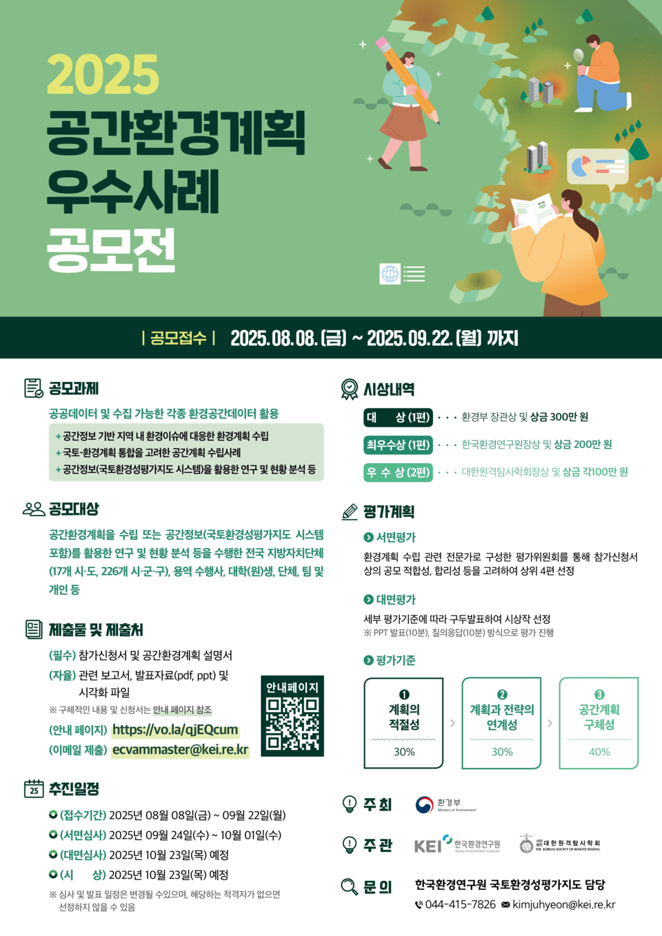
The Ministry of Environment announced that it will hold the “2025 Best Practices Competition for Spatial Environment Plans” from August 8 to September 22 to discover exemplary cases of spatial environment planning utilizing environmental spatial information.
This competition is organized to organically manage environmental planning and spatial planning and to collect and utilize practical cases that can effectively respond to environmental issues. Environmental spatial information combines environmental-related data with location information to be used in maps or geographic information systems (GIS), and the Ministry of Environment implements this through the National Environmental Evaluation Map.
The competition categories include three areas: △ Establishment of environmental planning based on spatial information, △ Integrated national and environmental planning cases, and △ Cases of research and status analysis utilizing spatial information.
The competition is open to 17 cities and provinces nationwide, 226 cities, counties, and districts, as well as service agencies, university students, organizations, and individuals. Interested parties can submit their applications via email.
The submitted cases will be evaluated based on criteria such as setting the direction of the plan, diagnostic and analysis connectivity, specificity, and feasibility. Four outstanding entries will be initially selected, and the final winners will be decided through presentations at the Korean Remote Sensing Society’s fall academic conference on October 23.
Final winners will receive an award, including one grand prize (Minister of Environment Award, 3 million won), one excellent prize (President of the Korea Environment Institute Award, 2 million won), and two merit prizes (President of the Korean Remote Sensing Society Award, 1 million won each). The winning entries will be posted on the National Environmental Evaluation Map website at the end of November.
Detailed information on the competition can be found on the websites of the Ministry of Environment, Korea Environment Institute, and the National Spatial Information System.
Taeo Kim, Director of Natural Conservation at the Ministry of Environment, stated, “Through this competition, we aim to discover practical applications for environmental spatial information and secure cases applicable to policy fields for use in local government environmental planning and research institution policy research.”